GeoDataFarm

A new version (2.8.0) was released 15 of March 2022, which includes the possibility to import iso11783 Taskdata

GeoDataFarm

A better way to view, analyse and store field data

This is a description of the QGIS plugin built for farmers. The plugin has three objectives:

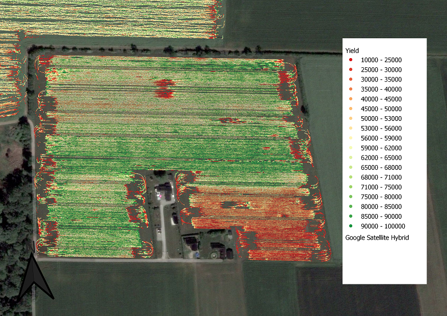
  • Serve as a tool for illustrating the data spatially (on a map).
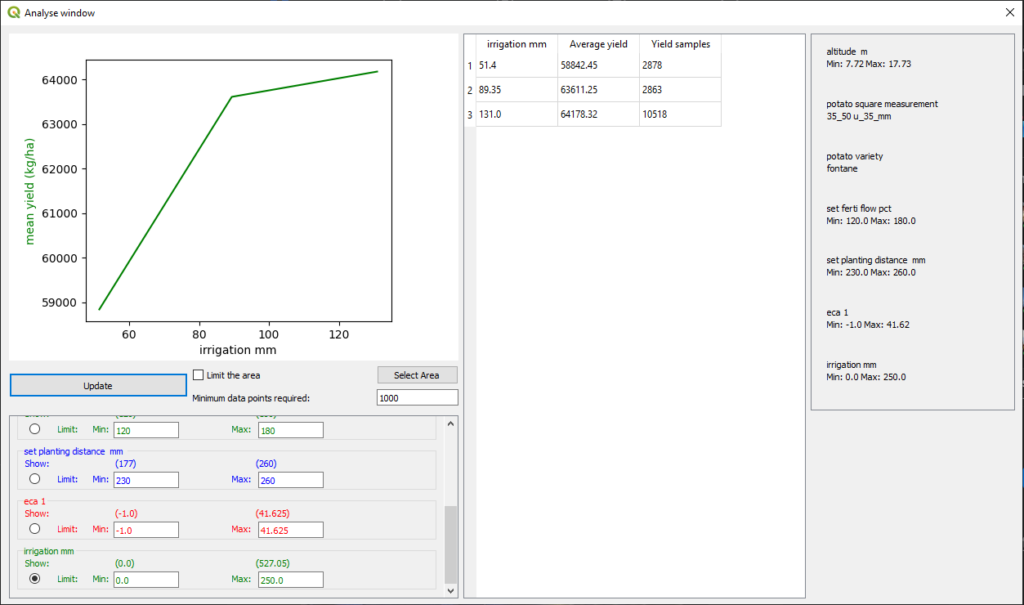
  • To determine the yield impact from different parameters (such as soil type, irrigation, planting distance etc.)
  • A logging tool for different efforts on the field. 


GeoDataFarm is built for any crops and any field parameters, however it is mostly tested for potatoes.

A free tool to manage farm field data!

On this site you will find information on how to install and how to use the tool QGIS plugin GeoDataFram. The first version of the plugin was released 19 feb 2018 and have been downloaded over 15 000 times since then.

This guide/webpage is written for the current version 2.8.1 of the plugin (17 March 2021).
I’ve also written a Swedish guide on version 2.0, that you can download here.

I’ve created some videos on how to use the program, they are available here on YouTube. Currently they are based on an old layout of GeoDataFarm, please send me an e-mail if you would like do more tutorials.

If you have any questions or feature request don’t hesitate to contact me!

The project is an open source project developed by Axel Hörteborn.